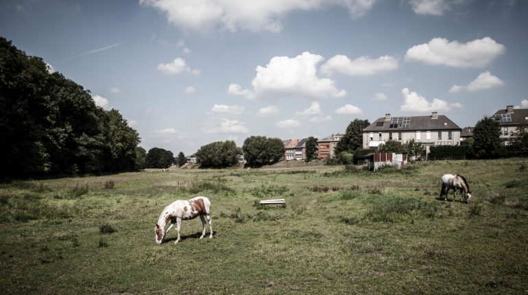
The open space in the so-called 20th century outskirts of and around Brussels was rapidly hardened and built on over the past century, under the influence of the increasing population and growing economic activities. Because of the climate challenge, it is now important to preserve, strengthen and link the remaining (urban) open space to a sustainable network with continuous and robust corridors between city and countryside for nature, water, soil, biodiversity, (urban) agriculture, combined with soft recreation and mobility, where possible.
That is why the Flemish authorities and the Brussels Region are working together and are looking for a research team, supported by the Flemish and Brussels bouwmeesters, that can map out the existing open space network, develop a coherent vision and formulate proposals to make the further development and better management of the open space operational. The aim of the mission is to develop an ambitious, jointly supported landscape vision with regard to the strengthening and development of a regionally coherent open space network in and around Brussels through an integrated approach. Moreover, this study should also result in a number of strategies to operationalise this vision in concrete projects and instruments of the various partners and in cooperation with local authorities, users, investors and owners of open space areas.
This assignment covers the same research territory and is complementary in terms of content to the assignment that we announced a few weeks ago within the framework of Labo Ruimte.
